Isabela is the largest island in the archipelago, accounting for half of the total landmass of the Galapagos at 4,588 square kilometers. Though arrow
in places, the island runs 132 km from north to south or 82 miles. Isabela is formed from six shield volcanoes that merged into a single landmass. It is also home to the highest point in the Galapagos, Wolf Volcano at 1,707 meters (5,547 feet), and calderas of up to 20 kilometers (12½ miles) across. Urbina Bay is directly west of Isabela’s Volcano Alcedo, make an easy, wet landing (a hop into a few inches of water) onto a gently sloping beach. In 1954, a Disney film crew caught sight of this gleaming white strip and went to investigate. To their astonishment, three miles (5 km) of the marine reef had been uplifted by as much as 13 feet (4 meters) prior to their arrival. They discovered schools of stranded fish and other creatures in newly formed tidal pools along with the skeletons of sea turtles and sharks unable to make it to the ocean as a result of the uplift event. Alcedo erupted a few weeks later.
Now visitors can walk amongst the boulder-sized dried coral heads, mollusks, and other organisms that once formed the ocean floor. A highlight of this excursion is the giant land iguanas, whose vivid and gaudy yellow skin suggests that dinosaurs may have been very colorful indeed. Giant tortoises inhabit this coastal plain during the wet season, before migrating to the highlands when it turns dry. The landing beach provides a nesting site for sea turtles and will also provide you with opportunities to snorkel amongst marine creatures, or just relax on shore. Here you must take care not to step on the sea turtle nests dug carefully into the sand. For those looking for snorkeling from a beach this is the place, with tropical fish hiding amongst the rocks to the north side of the bay.
Type of Landing: Wet
Level of Walk: Moderate
Other Activities: Nature Hikes
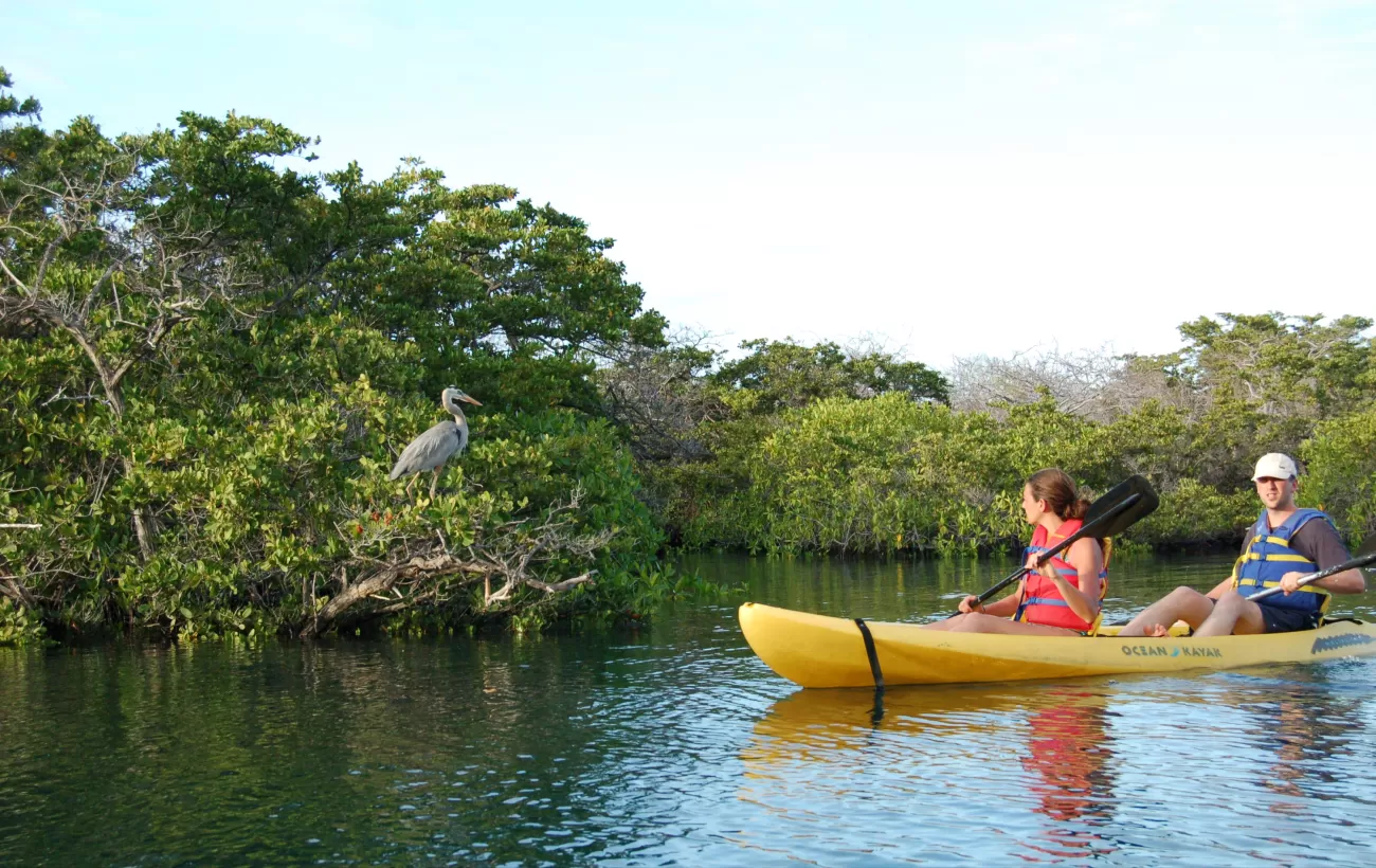
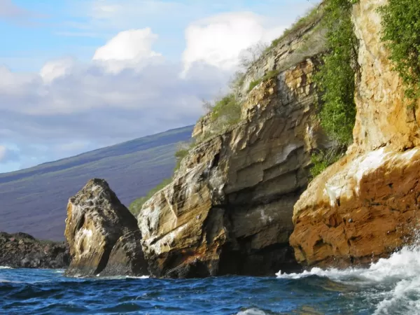
Head north along the western coast of Isabela Island, to Tagus Cove, named for a British warship that moored here in 1814. Historically the cove was used as an anchorage for pirates and whalers. One can still find the names of their ships carved into the rock above the landing, a practice now prohibited. The cove’s quiet waters make for an ideal panga ride beneath its sheltered cliffs, where blue-footed boobies, brown noddies, pelicans, and noddy terns make their nests, and flightless cormorants and penguins inhabit the lava ledges. From the landing, a wooden stairway rises to the trail entrance for a view of Darwin Lake; a perfectly round saltwater crater, barely separated from the ocean but above sea level! From the air one can see that both Tagus Cove and Darwin Lake are formed from one, partially flooded, tuff cone on the eastern edge of the giant Darwin volcano. The cove is formed by a breached and flooded section of the crater with Darwin Lake forming the very center of the same cone. The trail continues around the lake through a dry vegetation zone and then climbs inland to a promontory formed by spatter cones. The site provides spectacular views back toward anchorage, as well as to Darwin Volcano and Wolf Volcano to the north. As you set sail north to navigate out of the channel back towards the central islands keep your eyes peeled as this is one of the best places in the islands to spot whales and dolphins that feed in these productive waters created by the upwelling of the Cromwell Current. And while you watch you can enjoy a happy hour at the Sky Lounge on the upper rear deck.
Type of Landing: Dry
Level of Walk: Difficult
Other Activities: Nature Hikes, Snorkeling, Panga Rides & Kayaking


